Saltwater Pond Trail
Saltwater Pond Trail, Connecting the “Mass Grave” from The ’32 Storm
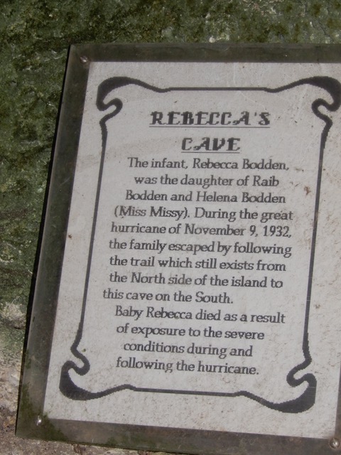
To Rebecca’s Cave
Two Cayman Brac Historic Sites, connected by an historic path
The trail across Cayman Brac is bookended by these two sites today as in the past:
ON THE NORTH by The Mass Grave from the ’32 Storm
ON THE SOUTH by Rebecca’s Cave, named for the child
that succumbed to exposure shortly after THE ’32 STORM of November 8th and 9th.

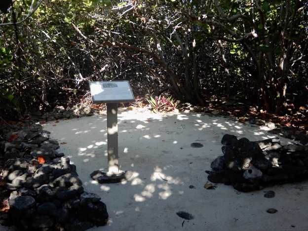
The ’32 Storm. November 8, 1932. We can think of it as the saddest day. Hundreds died (on land and at sea) including 19 people in the Mass Grave down White Bay Road on Cayman Brac, where a new house collapsed from the mountainous waves. The mass grave has been marked by a sign listing the names of those buried there. The grounds are kept neat and clean by National Trust volunteers, who also tidy the sandy path leading through the surrounding sea grape trees.

Saltwater Pond Trail
This is the name of the traditional trail through the trees across the top of Cayman Brac. It leads to a cave system in the south that offered shelter from the terrible storm. Six foot wide trails were mandated in those days for “roads” like The Bight Road in mid-island. Those who were able to do so during the great storm made their way up the cliff to Saltwater Pond trail and hiked south to reach what we now call Rebecca’s Cave. (Now largely eroded out.) They half- floated on the storm surge to get to the cliff and climb up the bluff to that trail and cave. They called it “Bat Cave”, but it is now called Rebecca’s Cave in memory of the small child buried there, in a beautiful but humble grave. Baby Rebecca died from exposure. Her grave is marked by a gravestone and a small sign erected years after by young relative— a local teacher who wanted to do things right.
The trail is ROUGH today (karst limestone formation erodes rough) but has been smoothed in its northern portion, and in the south by a boardwalk built by government. It is maintained by Public Works.
In the past the National Trust Cayman Brac District has organized hikes “from sea to sea”, meaning from the base of White Bay Road (adjacent to The Mass Grave) right across Saltwater Pond Trail, past Rebecca’s Cave (stopping to read the interpretive sign), and south across the road and to the sea with its rocky beach.

It is given to us to continue to protect this memory forever.
Author: J.W. Platts with credit to Leonard Bodden, to the late Heather McLaughlin of the National Archive (author of The ’32 Storm), and to Patricia Bradley who erected the small, most fitting sign listing the names of Storm victims buried at the Mass Grave site.
Notes:
Storm Force Storm forces were not measured by categories in those days, but we have physical evidence that this was a Category 5 hurricane, the most severe. Its wave wrack at Long Beach (sea and shore rocks) even today sits one foot higher than that from Hurricane Paloma, a Category 4 hurricane from 2008.
Burial Site Quoting Eleanor Grant Bodden in the book The ’32 Storm “…I can’t remember the rest of them, but it was nineteen buried in one grave, they not buried so deep, had lay one on top the other” [The ’32 Storm, H. McLaughlin, p. 99]
National Loss “Eight Men from Cayman Brac died in Santa Cruz, Cuba, where they had been working. This was in addition to the 40 men lost at sea and the 69 men, women and children who perished in Cayman Brac itself; a very high death toll in an island whose total population at the time was 1200. Virtually every family was in mourning.” [The ’32 Storm, op cit, p. 101]
Recovery Assistance came from Grand Cayman, from neighboring islands, the UK and by self-help. Quoting Mrs. Alda Ebanks in The ’32 Storm: “… The Government give each person so much wood and so much iron, so many nails. And then, what you could take from your old home … their homes were buried up, and they had to dig them out. But the lumber was still good. They’d put that lumber with what the Government had given them, and they got their house back right there.” (One very old cottage today hides the secret of having two roof beams, both rescued from ruined cottages at the area called The Rock, Cayman Brac.)
Official Trails There were more in those days than today, because some (e.g. Stake Bay Bluff Road) were widened and converted to vehicular use. The rationale is they were traditional rights of way being “roads” already. The definition of “road” (walking trail) was six foot width. At Saltwater Pond Trail it is interesting that adjoining parcels of land are not marked from the mid-line of the old trail but from the edges — the eastern edge of the trail for properties to the east, and the western edge, six feet to the west. These iron markers are still in place, revealing that the trail itself was preserved for public use.
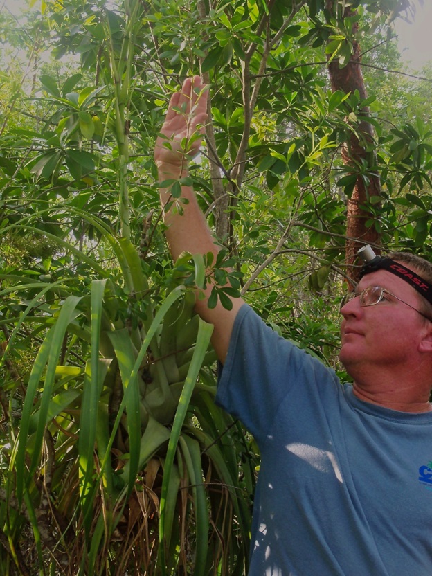
Historic note When doing a plant survey 600 feet long, heading west from the trail’s northern extremity, this author and team clearly noted the shortage of Candlewood and other trees that were in daily use, near the actual trail. But just a little deeper into the bush, Candlewood and other practical species can be found even today — they would have been more difficult to carry off to one’s “caboose”. Trees in common use then are today graced with the common names used by our pioneers.
JWP Date: September 15, 2023

